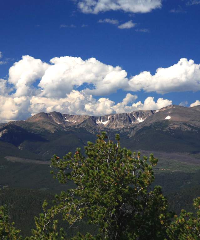
Classic Pennock Pass
This trail takes you from Fort Collins, to Masonville, then up Buckhorn Canyon, staying in the canyon all the way to the top of Pennock Pass at more than 10,000 feet. This classic route has a ton of pavement but the special bits, Pennock Pass and Pingree Park Road, are all dirt. Refill at the Masonville store. There is also a well-water faucet at the white ranger station 11 miles from the start of the dirt on Pennock Pass, about 50 yards off the left side of the road. There is more water at an artesian well about eight miles down Pingree Park Road. For a full refuel, stop at the Mishawaka or Poudre Park stores.
RATING: Challenging
Length: 92 miles
Paved: 40%
Elevation change: 5,900 feet
Authentic to Fort Collins Local Favorites
1883 Water Works
- 108 North Meldrum Street
830 North - Live Music, Bowling, Arcade
- 830 North College Avenue
830 North at Chipper’s is a 250 capacity concert venue and bowling lounge located in North Fort…
A Wanderlust Adventure
- 4120 W County Road 54G
Celebrating 43 fabulous summers of whitewater rafting on the Cache La Poudre River near Fort…
Ace Gillett's
- 239 South College Avenue
Fort Collins Spotlight
1883 Water Works
- 108 North Meldrum Street
830 North - Live Music, Bowling, Arcade
- 830 North College Avenue
830 North at Chipper’s is a 250 capacity concert venue and bowling lounge located in North Fort…
A Wanderlust Adventure
- 4120 W County Road 54G
Celebrating 43 fabulous summers of whitewater rafting on the Cache La Poudre River near Fort…
Ace Gillett's
- 239 South College Avenue


